

Mapping Shallow Seas with Smarter Satellites: Accurate Bathymetry from Space
Executive Summary
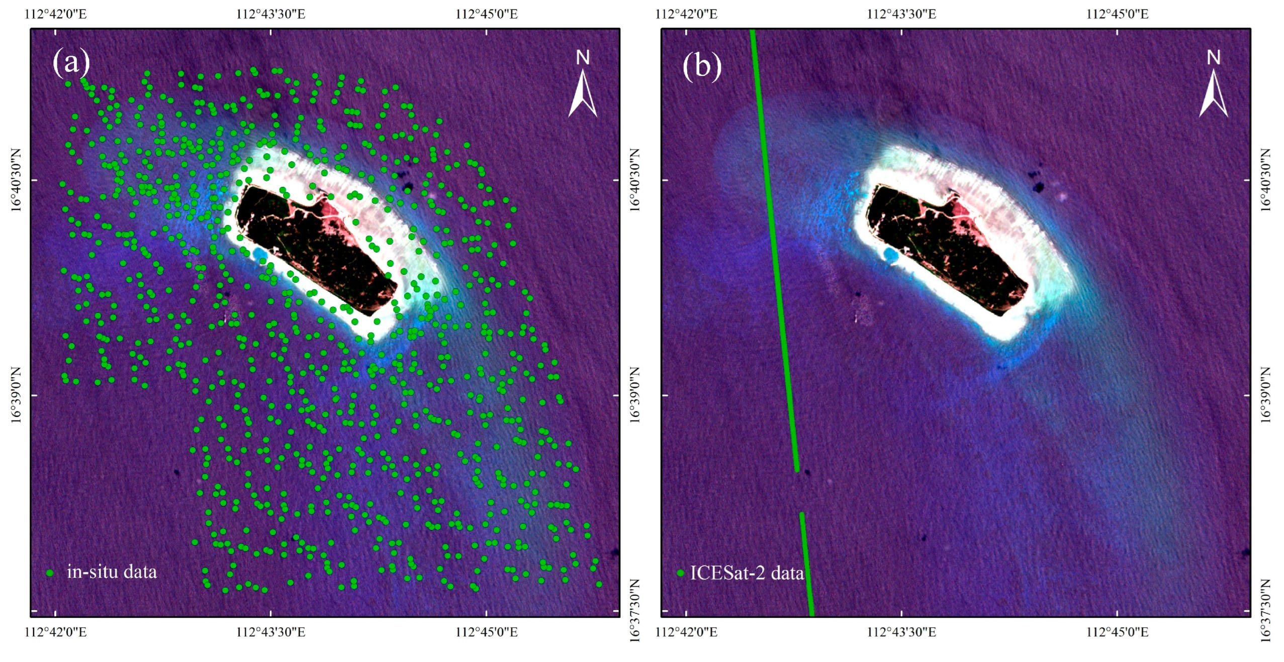
New generations of satellites are transforming how shallow-sea environments are mapped, making it possible to derive accurate underwater topography without costly surveys. Researchers at the First Institute of Oceanography, Ministry of Natural Resources (China) have developed a system that combines laser altimetry from NASA’s ICESat-2 s…